

 Back
hike
Back
hike
Mont Thabor hiking trail and refuge
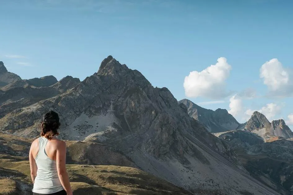

Dreaming of reaching 3,000 m and never dared to? The Tabor awaits you! You need a good level of fitness for this route that, with no technical complications, leads you into the magical high-altitude world of majestic mountain landscapes.
Description
Starting from the Lavoir, the first climb on a track is a little steep, but you'll soon forget the effort as you reach La Loza water basin. From chalet to chalet, the path winds through the alpine pastures as Tarine cows placidly look on, chewing tender grass and wildflowers. Nestled at the foot of Mount Tabor, a stunning backdrop, the refuge sits on the banks of the enchanting Sainte-Marguerite and Lac Long lakes, patiently awaiting hikers who need a rest. Then the trail slips through Col de la Vallée Narrow before climbing to Lac Peyron and Col des Méandes. The landscape becomes more lunar, and you feel infused with the serenity of the place as youadvance towards the chapel, like the French and Italian pilgrims who gather there every year. Once at the top, embrace the vastness of the Tabor opening out before you, with a stunning view of the Alps' high peaks, from Viso to Meije. Granted, this is a long hike, but by the time you get back, your mind is filled with magnificent images. This rock giant has truly bathed you in tranquillity!
Additional welcome
The duration of hiking trails is calculated using reference paces: 300 m/h ascent, 500 m/h descent and 4 km/h on the flat.
As hazards may occur at any time on the routes, the GPX tracks provided are not contractual. They are given for information only. Riders use them at their own risk, depending on their level of technological proficiency and their understanding of the terrain.
-
Minimum age: 14
Environments
-
 Mountain view
-
Mountain location
-
Presence of livestock and guard dogs
Rates
Free access.
Itinerary
-
 Distance
24km
Distance
24km
-
 Route type
Round trip
Route type
Round trip
-
 Elevation gain
1500m
Elevation gain
1500m
-
 Negative gradient
1500m
Negative gradient
1500m
-
 Daily duration
8:30 a.m.
Daily duration
8:30 a.m.
-
 Signposted itinerary
Yes
Signposted itinerary
Yes
-
 Beaconing accuracy
Mixed markings (PR: yellow blades and GR: white and red)
Beaconing accuracy
Mixed markings (PR: yellow blades and GR: white and red)
-
 Nature of the land
Rock,
Stone,
Ground,
Not suitable for strollers
Nature of the land
Rock,
Stone,
Ground,
Not suitable for strollers
-
 Maximum altitude
3178m
Maximum altitude
3178m
Opening period
From 01/07 to 01/10.
Subject to favorable snow and weather conditions.
Additional opening
-
Subject to favorable weather
-
Subject to snow conditions
Labels
- Listed on the PDIPR
Documents

Animals
Pets allowed : Yes
Pets allowed with supplement: No
Pets allowed on leash only.
Guidebook with maps/step-by-step
-
To guide you in the field, consult the "step-by-step" directional diagram provided in pdf.


-
Distance
24km
-
Daily duration
8:30 a.m.
-
Elevation gain
1500m
-
Negative gradient
1500m