

 Back
hike
Back
hike
Snowshoeing itinerary: Les Ânes
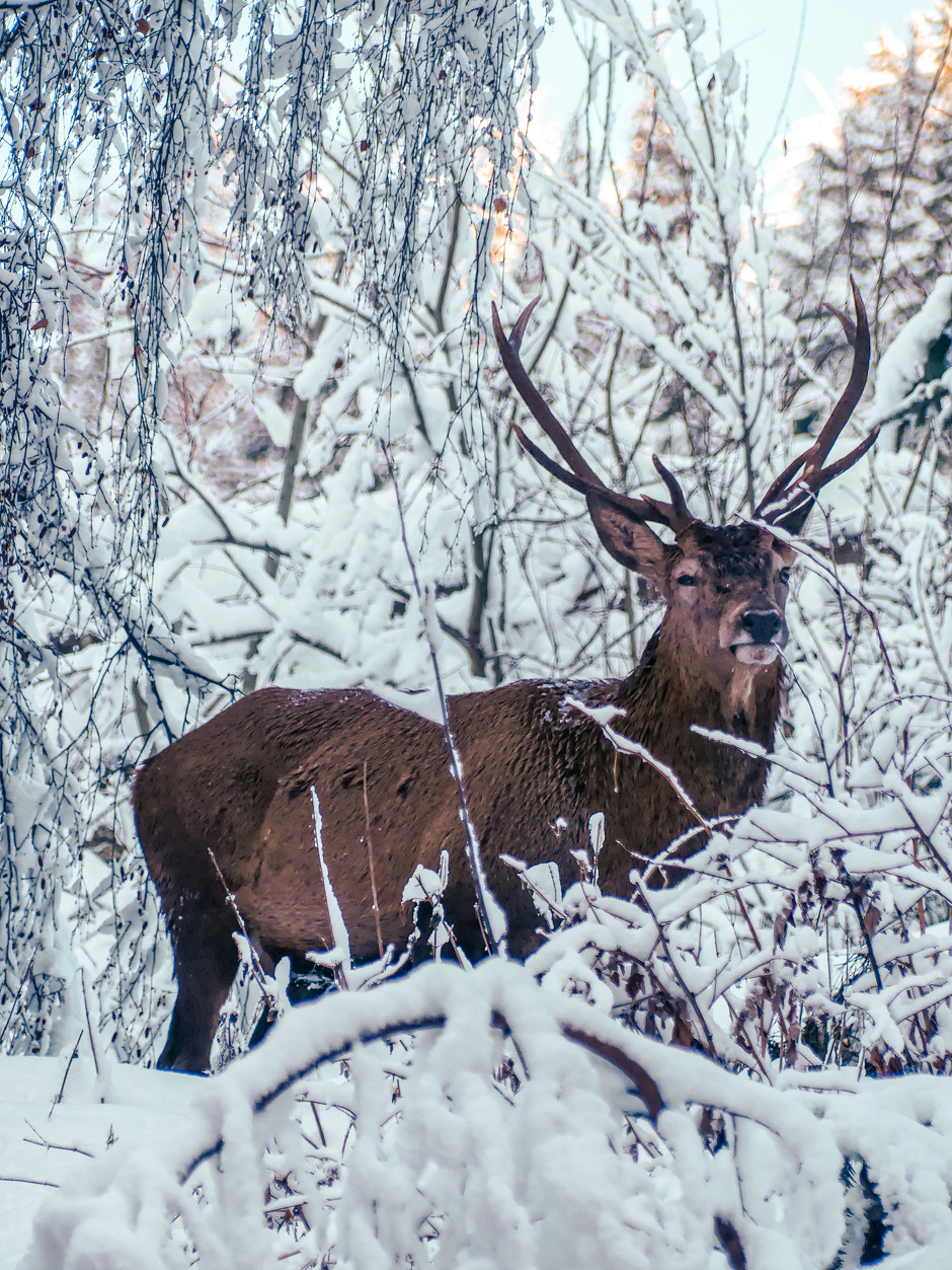

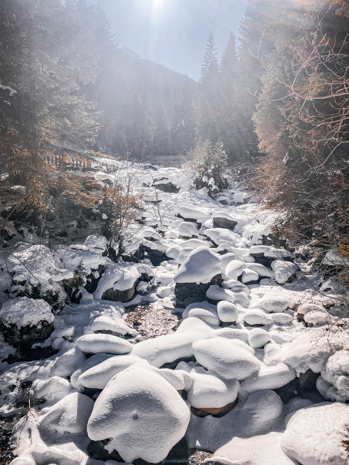
Starting from the heart of the Valfréjus , the loop climbs through the forest to an elevation of 1,855 meters. The effort is quickly rewarded with superb views of Pointe Rénod (3,368 meters) and the high peaks of the Maurienne.
Description
. A challenging yet captivating route where you can fully appreciate the rugged beauty and alpine atmosphere of Valfréjus.
Additional welcome
Check the weather conditions and avalanche risk before you set out (weather services, mountain rescue services, professionals, tourist office...).
Make sure your gear and clothing are appropriate for the forecast.
Postpone your activity if the weather forecast is poor. Follow safety instructions and do not stray from marked trails in winter.
Environments
-
 Mountain view
-
Mountain location
-
10–20 minutes by car from a train station
-
Less than a 10-minute walk from a bus stop
Rates
Free access.
Itinerary
-
 Distance
4.5 km
Distance
4.5 km
-
 Route type
LOOP
Route type
LOOP
-
 Elevation gain
320m
Elevation gain
320m
-
 Negative gradient
320m
Negative gradient
320m
-
 Daily duration
03h00
Daily duration
03h00
-
 Signposted itinerary
Yes
Signposted itinerary
Yes
-
 Beaconing accuracy
Signposted Route No. 4
Beaconing accuracy
Signposted Route No. 4
-
 Nature of the land
Ungroomed trail
Nature of the land
Ungroomed trail
-
 Maximum altitude
1855m
Maximum altitude
1855m
Opening period
Daily from December 15 to April 1.
Subject to favorable snow and weather conditions.
Additional opening
-
Subject to favorable weather
-
Subject to snow conditions
Location
As hazards may occur at any time on the routes, the GPX tracks provided are not contractual. They are provided for information only. Riders use them at their own risk, depending on their level of technological proficiency and their understanding of the terrain.

Animals
Pets allowed : Yes
Pets allowed with supplement: No
Out of respect for wildlife and skiers, please keep your dog on a leash.
Guidebook with maps/step-by-step
-
1/ From the Valfréjus , head toward the center of the resort, then take the stairs on the left to reach Chemin d'Arrondaz. Continue up to La Ramoure via Petit Arrondaz.
2/ 0 h 30 - At the intersection, continue uphill on the wide path. At the next crossroads, turn left and cross the blue Escargot trail. Continue uphill to reach the next crossroads.
3/ 0 h 45 - At this crossroads, follow the path as it winds its way up through the forest and open areas below the Arrondaz gondola. At the highest point, 1,740 m above sea level, a panoramic view opens up over the peaks of Haute Maurienne Vanoise.
4/ 1 hr 45 min - From this high point, begin the descent on the wide groomed path to the next junction.
5/ 2 hr 10 min - At this junction, turn left and enter the forest. Follow the narrow path between the pines to rejoin the blue Escargot trail. Cross it, then follow its downhill edge before turning right and continuing to the next crossroads.
to the next junction.
6/ 2 hrs 40 mins - From this crossroads, follow the same route as before down to the Tourist Office.
7/ 3 hrs - Valfréjus Office.


-
Distance
4.5 km
-
Daily duration
03h00
-
Elevation gain
320m
-
Negative gradient
320m


-
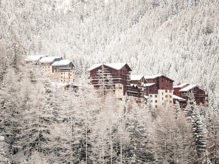
Valfréjus
 trade and service
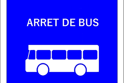
Bus stop No. 510: Tourist Office
-
Valfréjus
 trade and service
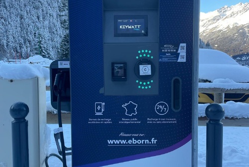
Electric vehicle charging station
-
Valfréjus
 trade and service
Tourist Office car park
-
Valfréjus
 hike
hikeSnowshoeing itinerary: Les Essarts
- Distance 4.9 km
- Daily duration 02h45
- Elevation gain 270 m
- Elevation loss 270 m
-
Valfréjus
 hike
hikeSnowshoeing itinerary: Les Herbiers
- Distance 3.3 km
- Daily duration 02h00
- Elevation gain 160m
- Negative gradient 160m
-
Valfréjus
 hike
hikeSnowshoeing itinerary: Les Petits Tra...
- Distance 3 km
- Daily duration 01h45
- Elevation gain 150 m
- Elevation loss 150 m
-
Valfréjus
 hike
hikeSnowshoe itinerary: Petit Charmasson...
- Distance 2.5 km
- Daily duration 1 hour 30 minutes
- Elevation gain 130m
- Negative gradient 130m