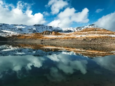
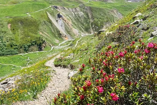
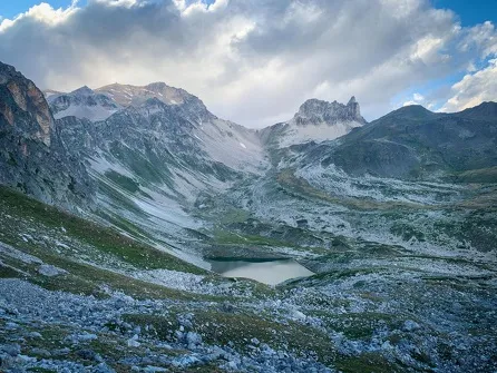
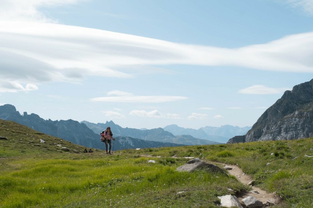
Hiking trails
Prepare your hike
Before setting off, check the weather forecast, pack your bag and make sure the hike is suitable for your level (from "Easy-Green" to "Very Difficult-Black").
A complete guide to over a hundred walks and hikes in Valfréjus and Haute Maurienne Vanoise is on sale at the Tourist Office reception desk. This guide will also give you practical advice for your outings.
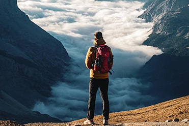
Professional guides are also on hand to help you discover the mountains and their flora and fauna in complete safety.
-
- La Norma
- Modane
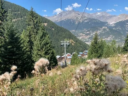
- Valfréjus
- Villarodin-Bourget
- Easy-Green (3)
- Moderate-Blue (5)
- Quite difficult-Yellow (5)
- Hard-Red (10)
- Very Hard - Black (4)
-
250Validate
-
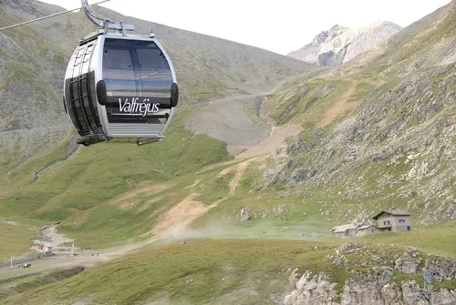
Valfréjus
 hike
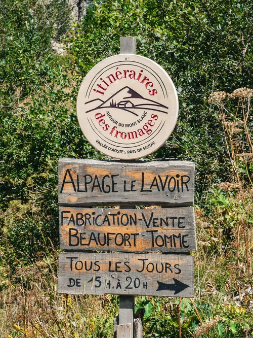
hikeFromagerie du Lavoir walking tour
- Distance 6.5km
- Daily duration 02:15
- Elevation gain 320m
- Negative gradient 320m
-
Valfréjus
 hike
hikeCol d'Arrondaz hiking loop - Hameau d...
- Distance 8.8km
- Daily duration 3:00 a.m.
- Elevation gain 290m
- Negative gradient 600m
-
Valfréjus
 hike
hikeWalking tour of the Les Herbiers loop
- Distance 3.2km
- Daily duration 01:15
- Elevation gain 151m
- Negative gradient 144m
-
Valfréjus
 hike
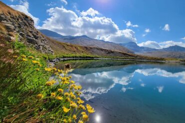
hikeHiking at Sainte-Marguerite Lakes
- Distance 12km
- Daily duration 4:30 a.m.
- Elevation gain 620m
- Negative gradient 620m
-
Valfréjus
 hike
hikeHiking to the Sarrasins pass
- Distance 11.6km
- Daily duration 5:15 a.m.
- Elevation gain 930m
- Negative gradient 930m
-
La Norma
 hike
hikeWalking tour from La Norma to the For...
- Distance 7.5km
- Daily duration 02:45
- Elevation gain 177m
- Negative gradient 177m
-
Valfréjus
 hike
hikeMont-Thabor Hiking Trail – Stage 3 Ro…
- Distance 14.7 km
- Daily duration 6:00 a.m.
- Elevation gain 975 m
- Elevation loss 975 m
-
Valfréjus
 hike
hikeTavernes walking trail
- Distance 5.2km
- Daily duration 01:45
- Elevation gain 160m
- Negative gradient 160m
-
Valfréjus
 hike
hikeWalking tour of the Notre-Dame du Cha...
- Distance 2km
- Daily duration 00:45
- Elevation gain 60m
- Negative elevation gain 60m
- 1
- 2
- 3
To find out more...
103 walks and hikes, 38 trails" guidebook
Discover all the trail and hiking itineraries at Valfréjus and in Haute Maurienne Vanoise with our Guide (easy strolls booklet + hiking and trail booklet + map) on sale at the Tourist Office.
Hiking and trekking guide - Gentle getaways (PDF)
Hiking and trail guide - High altitude escapes (PDF)
Hiking and trail map (PDF)
Preparing your mountain outing booklet (PDF)
3 itinerant hikes
On foot, mountain bike, horseback:
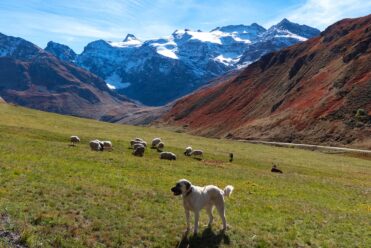
Meeting a Patou: what are the right things to do?
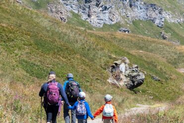
Hiking in the heart of the Alps